Maps
I've been intrigued with and collected maps since my youth. Maps are just maps though. Creating a sense of place, a connection to a landscape, is what I strive for.
the oyster atlas
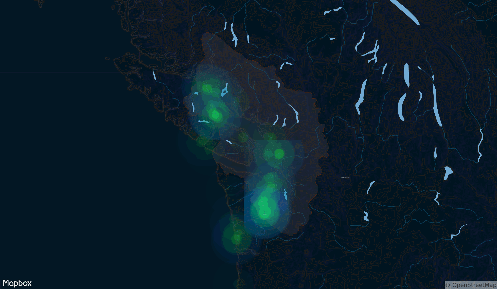
Oyster consumption has had a renaissance over the last two decades. A daily scenario (at many places) is deciphering the oyster selection. Knowing and even guessing the provenance of an oyster used to be simple; in the United States they were often from Toke Point, near the mouth of the Columbia River, Long Island Sound, Chesapeake Bay, and Louisiana to name a few places.
Today, reading an oyster menu is like that of wine — a seemingly long list cities and regions: Fanny Bay (BC), Poppenset Bay (MA), Westcott Bay (WA), Olde Salt (Chincoteague Bay, VA). But where are these places in relationship to each other? Where are oysters grown? What areas have the highest concentration of oyster farms? I wanted to know.
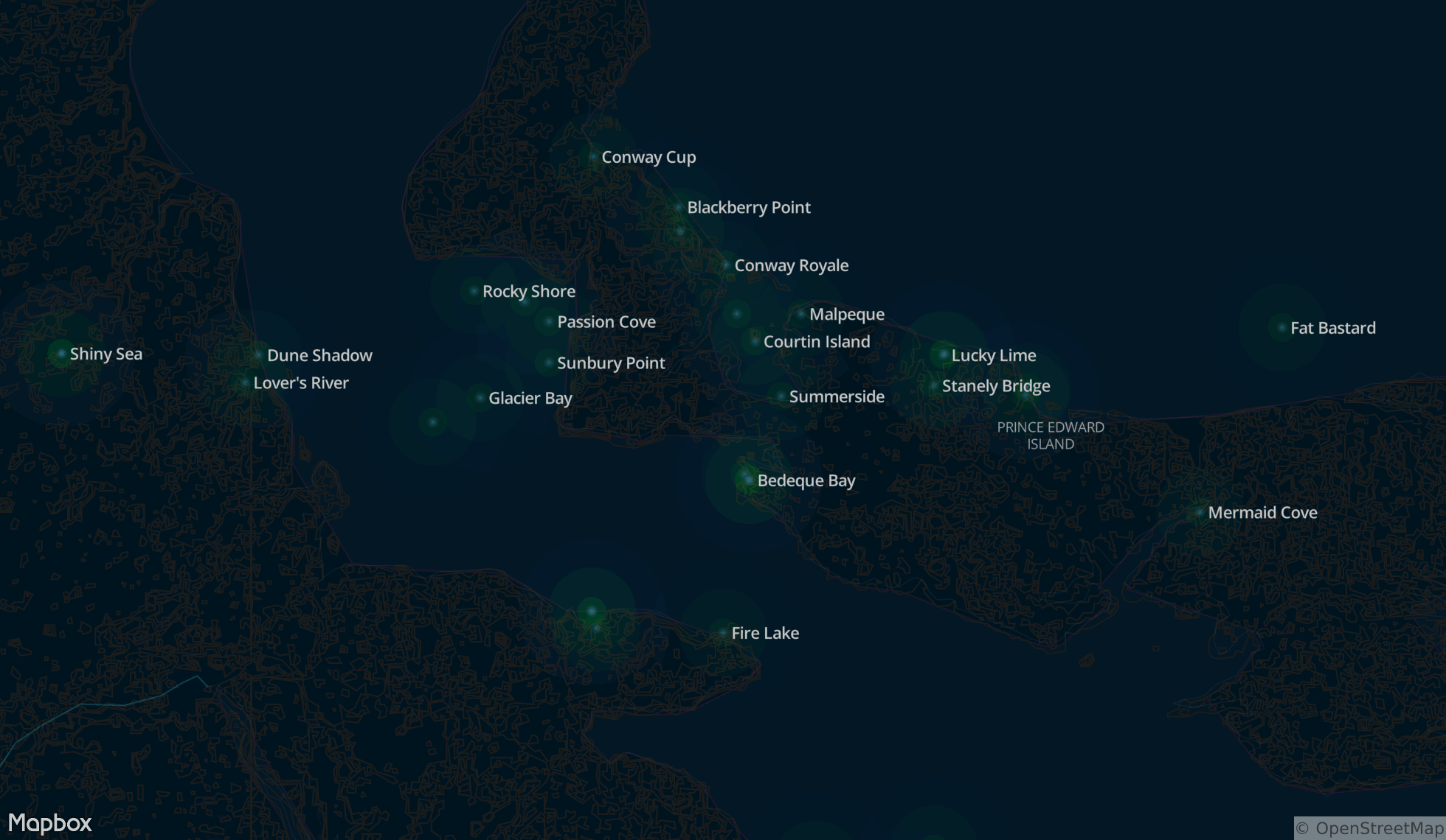
The big map (not the tiny one above) represents the oysters of the world, 520 and counting. Although it is predominantly North America, this is part of my long-term project to represent all of the world's oysters. I have found more than 900 market varieties. You will notice there are no placemarkers. I found that representing oysters as place names makes it easier to remember. Plus, some market names are places. Then again, not all oysters are located where their namesake city is. Spatially, I wanted to see the density of oyster growing regions and adjacency of growers to each other.
Just so you know, Pacific oysters are largely grown on the West Coast and Eastern oysters from the Gulf of Mexico to the Maritime Provinces in Canada.
This was designed with Mapbox Studio with a hat tip to Carto for their inspiring heatmap style.
the digital atlas of remote islands
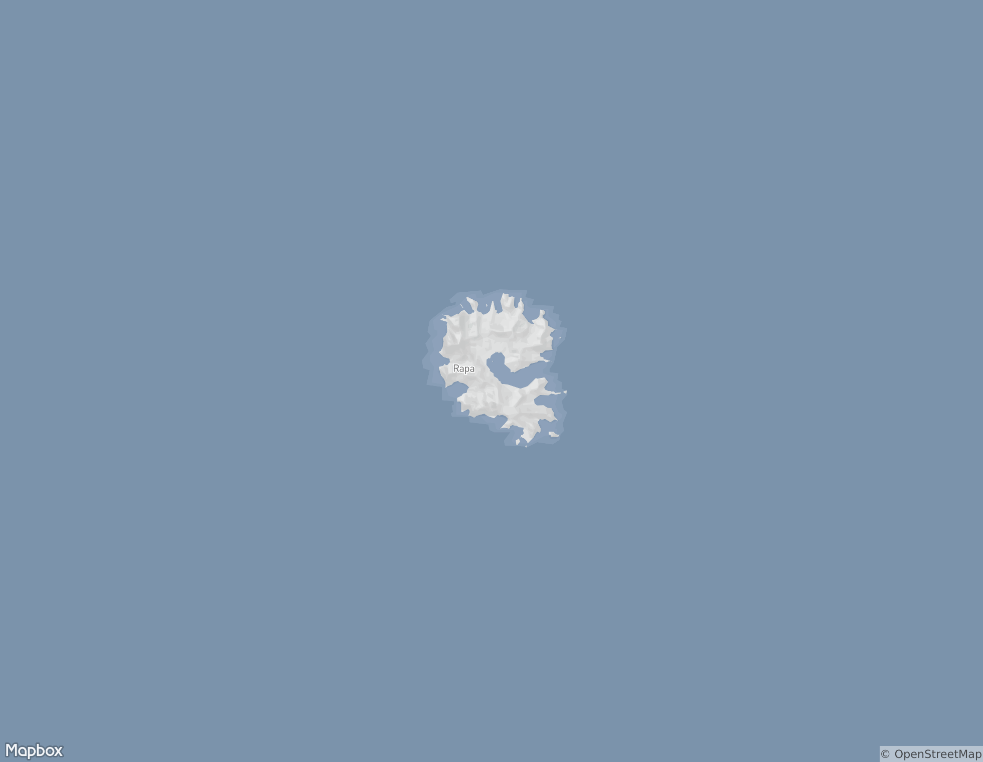
The Atlas of Remote: Fifty Islands I Have Never Set Foot On and Never Will by Judith Schalansky is a fascinating book. It explores the world's oceans and stirs the imagination of travelers to forgotten places and their histories. To gather a sense of isolation, I mapped those islands. (This is best experienced on a big monitor.)
transit connections
This map utilizes transit agency data feeds and OpenStreetMap. It includes built structures — heavy rail, light rail, trolley buses, monorails, maglev, and cable cars, plus ferries the world over. Tallied, there are more than 400 cities even Pyongyang, North Korea.
vintage french
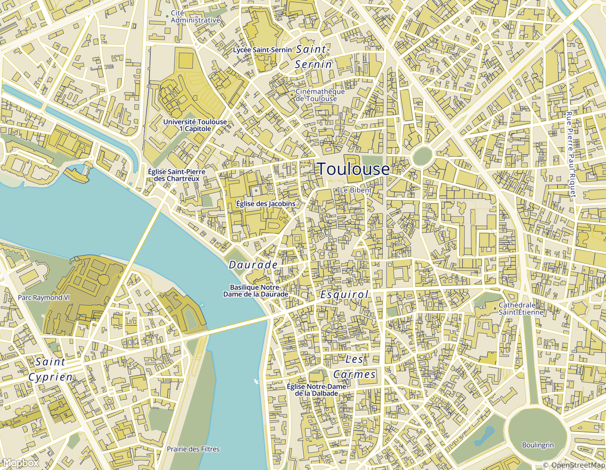
This map is based upon a circa 1980 city map of Toulouse, France.
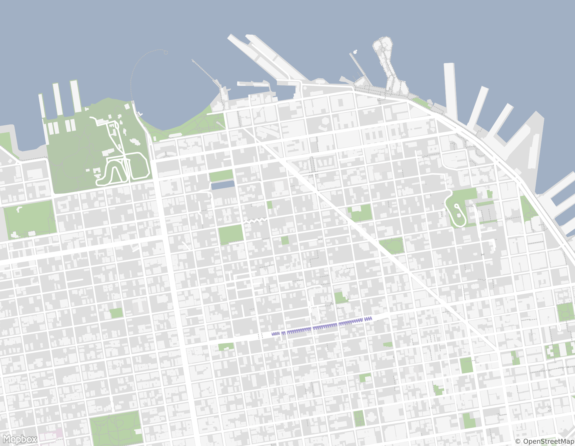
new york bike-share stations
This map displays the density of bike stations located in Manhattan, Brooklyn, and Jersey City; larger circles mean more bikes. The north dividing line seems to be 86th St. on the island. Bike data is from CitiBikeNYC.
east beach
This map is named after East Beach, an area of Crissy Field, part of the Golden Gate National Recreation Area. It is loosely based on the floor of the Moleskine store in San Francisco.
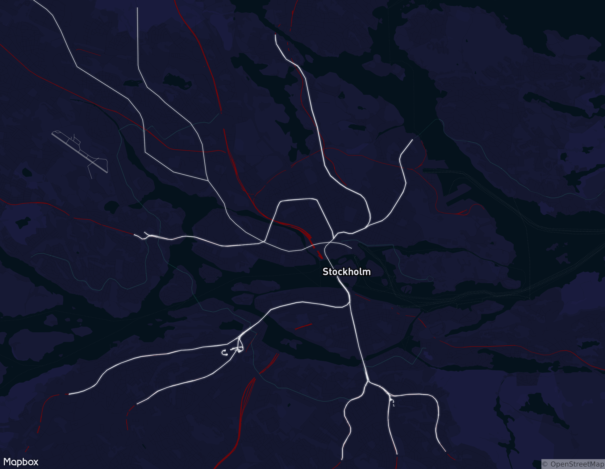
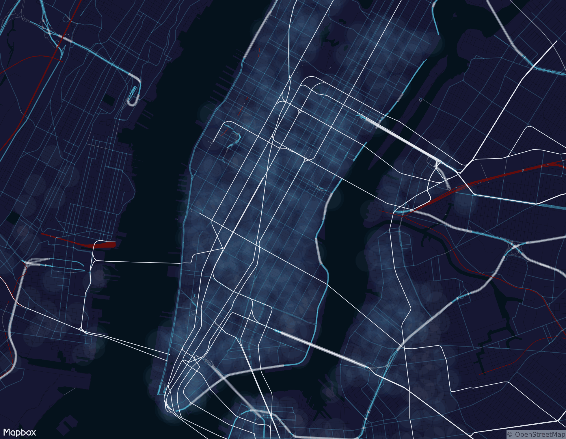
spy map
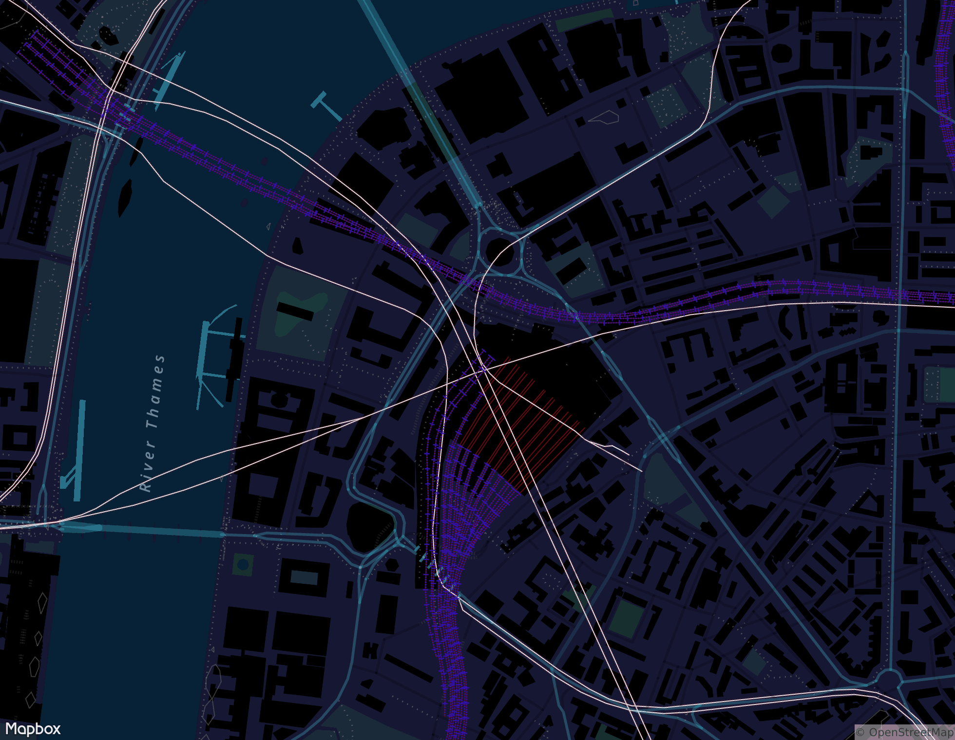
Dark maps rule. Tunnels, footpaths, bridges, transit, building outlines. This is the perfect espionage map. Zoom in, zoom out.